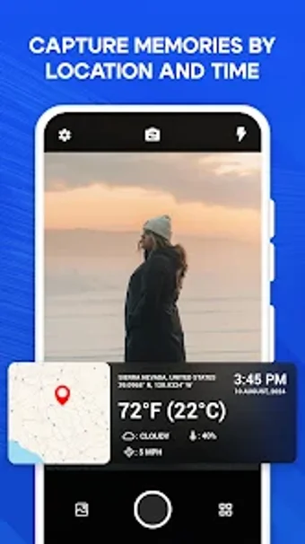
Comprehensive GPS Map Camera for Travel Documentation
GPS Map Camera Location Time is a versatile application designed for Android users, enabling them to embed essential GPS location data, timestamps, and weather conditions onto their photos and videos. Ideal for travelers, photographers, and researchers, this app ensures that every captured moment is accompanied by accurate geolocation details, providing a rich context for each image or video.
Key features include automatic GPS location stamping, detailed geolocation information, and the ability to include real-time weather and temperature data. Users can also manually edit geotagging and timestamps for precise documentation. With high-quality photo and video capabilities and easy sharing options, GPS Map Camera enhances the storytelling aspect of photography by integrating vital information seamlessly into each shot.


